
Annual Aboveground Biomass Maps for Forests in the Northwestern USA, 2000-2016
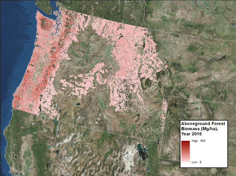
This dataset from the Carbon Monitoring System (CMS) provides annual maps of aboveground biomass (AGB, Mg/ha) for forests in Washington, Oregon, Idaho, and western Montana, USA, for the years 2000-2016, at a spatial resolution of 30 meters. Tree measurements were summarized with the Fire and Fuels Extension of the Forest Vegetation Simulator (FFE-FVS) to estimate AGB in field plots contributed by stakeholders, then lidar was used to predict plot-level AGB using the Random Forests machine learning algorithm. The machine learning outputs were used to predict AGB from Landsat time series imagery processed through LandTrendr, climate metrics generated from 30-year climate normals, and topographic metrics generated from a 30-m Shuttle Radar Topography Mission (SRTM) digital elevation model (DEM). The non-forested pixels were masked using the PALSAR 2009 forest/nonforest mask.
NASA's CMS program is designed to make significant contributions in characterizing, quantifying, understanding, and predicting the evolution of global carbon sources and sinks through improved monitoring of carbon stocks and fluxes. See all ORNL DAAC data from CMS.
Data Citation: Fekety, P.A., and A.T. Hudak. 2019. Annual Aboveground Biomass Maps for Forests in the Northwestern USA, 2000-2016. ORNL DAAC, Oak Ridge, Tennessee, USA. https://doi.org/10.3334/ORNLDAAC/1719
Data Center: ORNL DAAC
Sponsor: EOSDIS
