
LiDAR Derived Forest Aboveground Biomass Maps, Northwestern USA, 2002-2016
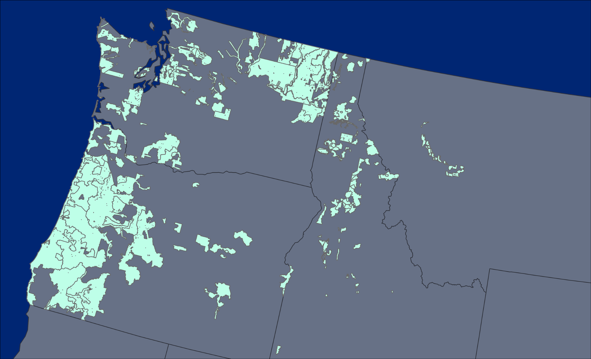
This dataset from the Carbon Monitoring System (CMS) provides maps of aboveground forest biomass (AGB) of living trees and standing dead trees in Mg/ha across portions of Northwestern United States, including Washington, Oregon, Idaho, and Montana, at a spatial resolution of 30 m. Plot-level AGB estimates were calculated from tree measurements using the default allometric equations found in the Fire Fuels Extension (FFE) of the Forest Vegetation Simulator (FVS). The random forest algorithm was used to model AGB from lidar height and density metrics that were generated from the lidar returns within fixed-radius field plot footprints, gridded climate metrics obtained from the Climate-FVS Ready Data Server, and topographic estimates extracted from Shuttle Radar Topography Mission (SRTM) 1 Arc-Second Global elevation rasters. AGB was then mapped from the same lidar metrics gridded across the extent of the lidar collections at 30-m resolution. The standard deviation of estimated AGB of the terminal nodes from the random forest predictions was also mapped to show pixel-level model uncertainty.
NASA CMS's program is designed to make significant contributions in characterizing, quantifying, understanding, and predicting the evolution of global carbon sources and sinks through improved monitoring of carbon stocks and fluxes. The System uses NASA satellite observations and modeling/analysis capabilities to establish the accuracy, quantitative uncertainties, and utility of products for supporting national and international policy, regulatory, and management activities. CMS data products are designed to inform near-term policy development and planning. See all ORNL DAAC data from the CMS.
Data Citation: Fekety, P.A., and A.T. Hudak. 2020. LiDAR Derived Forest Aboveground Biomass Maps, Northwestern USA, 2002-2016. ORNL DAAC, Oak Ridge, Tennessee, USA. https://doi.org/10.3334/ORNLDAAC/1766