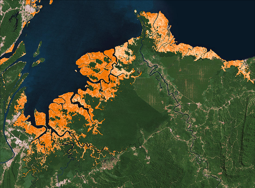
Global Mangrove Distribution, Aboveground Biomass, and Canopy Height
A new dataset from Carbon Monitoring System (CMS) characterizes the distribution, biomass, and canopy height of mangrove-forested wetlands across 116 countries. Estimated are based on a 30 meter resolution global mangrove ecotype extent map using remotely-sensed canopy height measurements and region-specific allometric models for the nominal year 2000. Spatially explicit maps of mangrove can be used to assess local-scale geophysical and environmental conditions that may regulate forest structure and carbon cycle dynamics.
For more information on the importance of this research, see the NASA Earth Observatory article New Satellite-Based Maps of Mangrove Heights.
The NASA Carbon Monitoring System is designed to make significant contributions in characterizing, quantifying, understanding, and predicting the evolution of global carbon sources and sinks through improved monitoring of carbon stocks and fluxes. See ORNL DAAC data from NASA's Carbon Monitoring System.
Related Paper: Simard, M., L. Fatpyinbo, C. Smetanka, V.H. Rivera-Monroy, E. Castaneda-Moya, N. Thomas, and T. Van der Stocken. 2019. Mangrove canopy height globally related to precipitation, temperature and cyclone frequency. Nature Geoscience, 12: 40–45. https://doi.org/10.1038/s41561-018-0279-1
Data Citation: Simard, M., T. Fatoyinbo, C. Smetanka, V.H. Rivera-monroy, E. Castaneda-mova, N. Thomas, and T. Van der stocken. 2019. Global Mangrove Distribution, Aboveground Biomass, and Canopy Height. ORNL DAAC, Oak Ridge, Tennessee, USA. https://doi.org/10.3334/ORNLDAAC/1665


