
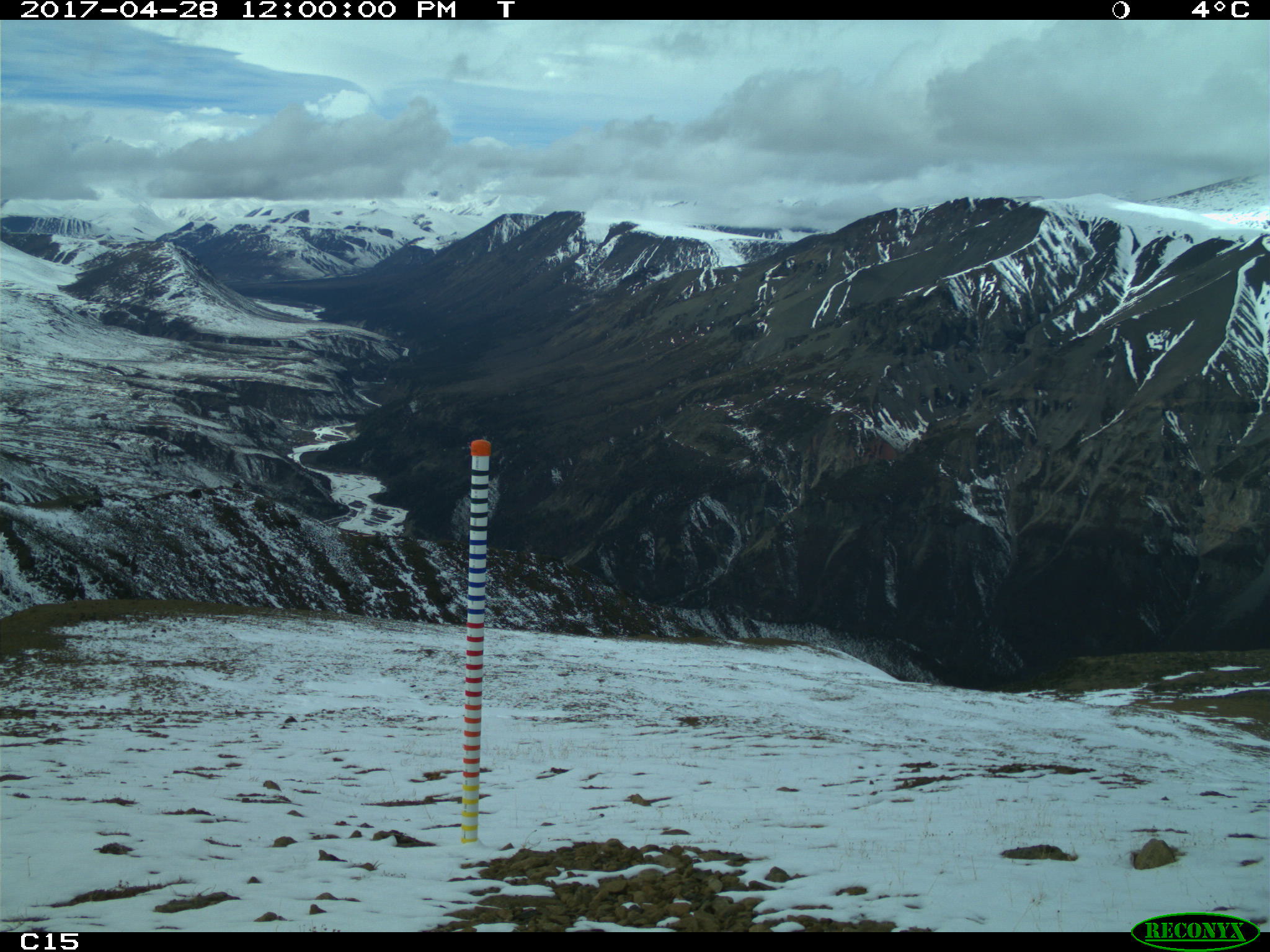
Snow Depth, Stratigraphy, and Temperature in Wrangell St Elias NP, Alaska, 2016-2018
This dataset from the Arctic-Boreal Vulnerability Experiment (ABoVE) provides measurements from late-March snow surveys and hourly digital camera images at two study areas within the Wrangell St Elias National Park, Alaska. These data comprise snow density, stratigraphy, and temperature profiles obtained by snow pits; and snow depth data obtained from transects between snow pits. These data were collected to constrain and validate a physically-based, spatially-distributed snow evolution model used to simulate snow conditions in Dall sheep habitat. Main files include snow pit observations and snow depths in .csv format. Companion files include snowpit photographs, hourly snow stake images for camera locations, a MATLAB script for snow stake image analysis to derive snow depth, and a snow depth time-lapse video of snow stake images.
ABoVE is a NASA Terrestrial Ecology Program field campaign that will take place in Alaska and western Canada between 2016 and 2021. See all ORNL DAAC datasets from the ABoVE campaign.
Data Citation: Cosgrove, C.L., L.R. Prugh, A.W. Nolin, K.J. Sivy, R.L. Crumley, and M.E. Tedesche. 2019. Snow Depth, Stratigraphy, and Temperature in Wrangell St Elias NP, Alaska, 2016-2018. ORNL DAAC, Oak Ridge, Tennessee, USA. https://doi.org/10.3334/ORNLDAAC/1656
Related Dataset: Sivy, K.J., A.W. Nolin, C.L. Cosgrove, and L.R. Prugh. 2018. ABoVE: Dall Sheep Track Sinking Depths, Snow Depth, Hardness, and Density, 2017. ORNL DAAC, Oak Ridge, Tennessee, USA. https://doi.org/10.3334/ORNLDAAC/1583
