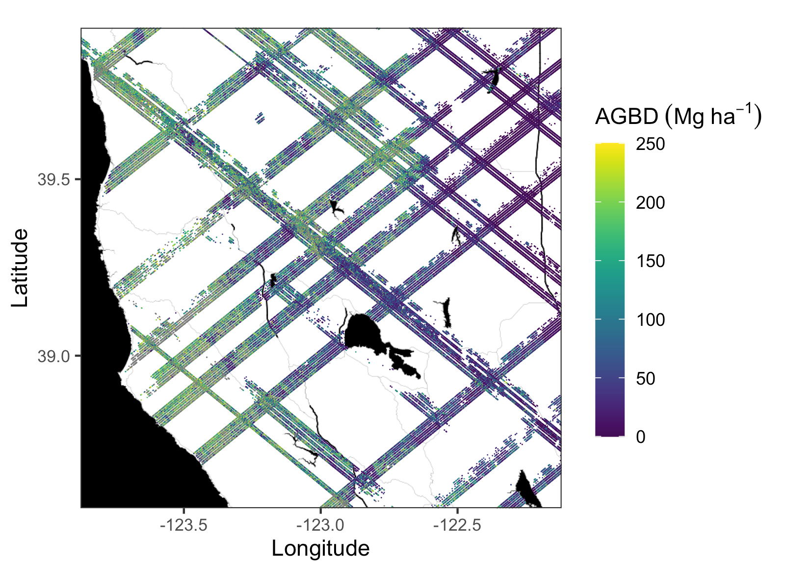
The ORNL DAAC has released version 2.1 of the GEDI Level 4A Footprint Level Aboveground Biomass Density Estimates, produced by the GEDI Science Team:
GEDI L4A Footprint Level Aboveground Biomass Density, Version 2.1
This update contains three changes from version 2.0:
- Corrects a recently discovered issue that resulted in incorrect estimates of aboveground biomass density (AGBD) and other associated variables for shots with selected algorithm group 10 (a10). AGBD estimates based on the other six algorithm setting groups were not affected and this issue did not affect the Version 1 GEDI L4a data. The issue was caused by an error in the relative height (RH) metrics used as predictor variables in the a10 AGBD models.
- Corrects an issue where 351 granules had duplicate GEDI shots for days 2020-297 to 2020-300, 2020-365, and 2021-106.
- Extends the dataset to include mission week 154 (ending 2021-11-23).
The granules for this new release use a production version of “02”, which is the field right before the overall processing version number at the end of the filename, as indicated by the bold section of the filename in this example granule: GEDI04_A_2020207182449_O09168_03_T03028_02_002_02_V002.h5. See the GEDI L4A User Guide for details of the file naming conventions.
Users who have downloaded version 2.0 (filenames ending *01_V002.h5) should switch to using version 2.1, such as by using the download and access tools linked on the V2.1 landing page. It is also possible to correct previously downloaded data, using a procedure documented in a Jupyter notebook developed in collaboration with the GEDI Science Team. This correction is possible because algorithm setting group 10 uses the same settings as the algorithm setting group 5 (a05) but selects a higher mode to calculate the RH metrics when the lowest detected mode is likely noise. The xvar data provided for a05 can, therefore, be used to correct the a10 AGBD estimates.
To read more about this dataset, see the GEDI L4A User Guide. You can also check out the tutorials available from the ORNL DAAC and explore the data through our Global Subsets Tool.
The Global Ecosystem Dynamics Investigation (GEDI) produces high resolution laser ranging observations of the 3D structure of the Earth. GEDI’s precise measurements of forest canopy height, canopy vertical structure, and surface elevation greatly advance our ability to characterize important carbon and water cycling processes, biodiversity, and habitat. GEDI was funded as a NASA Earth Ventures Instrument (EVI) mission. It was launched to the International Space Station in December 2018 and completed initial orbit checkout in April 2019.
Additional data from the GEDI mission can be found on the ORNL DAAC's GEDI Project Page (Levels 3 and 4) and through the Land Processes DAAC's GEDI Data Catalog (Levels 1 and 2).
Citation: Dubayah, R.O., J. Armston, J.R. Kellner, L. Duncanson, S.P. Healey, P.L. Patterson, S. Hancock, H. Tang, J. Bruening, M.A. Hofton, J.B. Blair, and S.B. Luthcke. 2022. GEDI L4A Footprint Level Aboveground Biomass Density, Version 2.1. ORNL DAAC, Oak Ridge, Tennessee, USA. https://doi.org/10.3334/ORNLDAAC/2056

