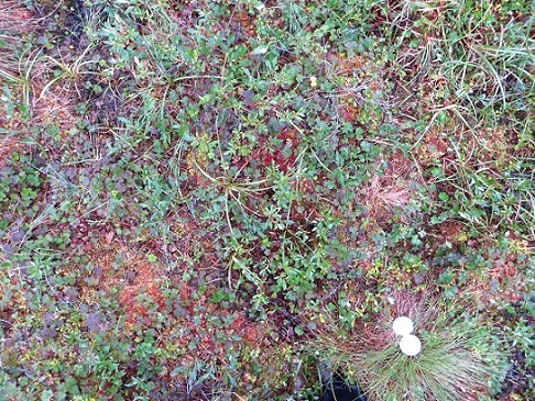
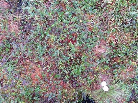
Ground-Based Vegetation Community Photos, Toolik Lake Area, Alaska, 2014-2015
This new Arctic-Boreal Vulnerability Experiment (ABoVE) dataset contains 731 ground-based nadir vegetation community and ground surface photographs that will serve as a 2014-2015 reference for future climate change impact studies. The photos complement related datasets that were collected across the same study areas near Toolik Lake, Alaska. The "Toolik" study area (approximately 6 km2) covers research areas near Toolik Field Station at Toolik Lake, including Arctic LTER installations. The "Pipeline" study area is a stretch of the Trans-Alaska Pipeline and the "Imnavait" area is along Imnavait Creek, roughly 10 km east of Toolik Lake.
ABoVE is a NASA Terrestrial Ecology Program field campaign conducted in Alaska and western Canada between 2016 and 2021 that links field-based, process-level studies with geospatial data products derived from airborne and satellite sensors.
See the related datasets:
Greaves, H.E., J. Eitel, L. Vierling, N. Boelman, K. Griffin, T. Magney, and C. Prager. 2019. High-Resolution Vegetation Community Maps, Toolik Lake Area, Alaska, 2013-2015. ORNL DAAC, Oak Ridge, Tennessee, USA. https://doi.org/10.3334/ORNLDAAC/1690
Greaves, H.E., L. Vierling, J. Eitel, N. Boelman, T. Magney, C. Prager, and K. Griffin. 2018. High-Resolution Shrub Biomass and Uncertainty Maps, Toolik Lake Area, Alaska, 2013. ORNL DAAC, Oak Ridge, Tennessee, USA. https://doi.org/10.3334/ORNLDAAC/1573
Data Citation: Greaves, H.E., and E.A. Fortin. 2019. Ground-Based Vegetation Community Photos, Toolik Lake Area, Alaska, 2014-2015. ORNL DAAC, Oak Ridge, Tennessee, USA. https://doi.org/10.3334/ORNLDAAC/1718
Data Center: ORNL DAAC
Sponsor: EOSDIS


