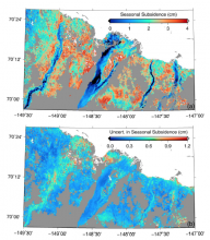
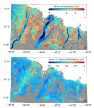
Remote sensing was used to measure the thickness of the active layer in regions of the North Slope of Alaska in two new data sets.
data
Soil Microbial Biomass and Composition
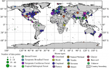
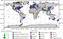
A new comprehensive data set describes soil microbial biomass carbon, nitrogen, and phosphorus concentrations at biome and global scales.
Connecting the Drops
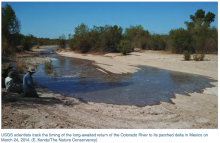
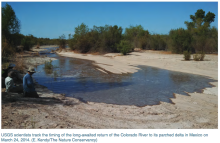
USGS scientists track the timing of the long-awaited return of the Colorado River to its parched delta in Mexico on March 24, 2014.
Do we have enough water to meet our needs, now and in the future? Daymet, a meteorological data product at the ORNL DAAC, may help find the answer.
LBA-ECO Project website archived at the ORNL DAAC
The Amazon, largest expanse of tropical forest on Earth, has been experiencing rapid land cover change as a consequence of economic development.
Soil and Vegetation Measurements from 23 Sites in Brazil
New LBA-ECO soil and vegetation data for Cerrado and forested sites in Brazil has been published.
Tracking land-use changes in tropical forests
MODIS satellite data inform study of human land use patterns and changes in ecological communities in tropical forests around the world.
LBA-ECO Amazon Land Cover Classifications Published
A time series of high-resolution land cover classifications from 1975 – 2000 for the Amazon Basin of Brazil is now available from the ORNL DAAC. Rates of deforestation can be calculated by comparing the extent of primary forest between dates.
Modeling past and future land use
A comprehensive, harmonized data set describing the annual land use patterns of the globe from the year 1500 to the present, and projections to the year 2100, is now available from the ORNL DAAC.
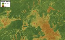
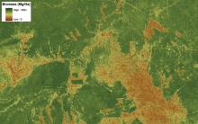
CMS: LiDAR-derived Estimates of Aboveground Biomass
High-resolution LiDAR-derived maps of aboveground biomass at four forested sites in the US are now available from the ORNL DAAC.
The Secrets of Leaves
Data from AmeriFlux towers helps refine models of carbon exchange between land and air.

