Hydrology
Image Media
Body
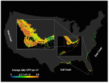
Tidal wetland gross primary production estimates across the Conterminous US derived with the spatially-explicit Blue Carbon model.
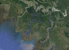
Water Depth and Surface Elevation Data for the Wax Lake Delta
Image Media
Body
Bathymetry data are available for a major channel of the Mississippi River Delta.
Remote-Sensing Reflectance of Surface Water
Image Media
Body
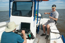
A new dataset provides hand-held spectrometer measurements collected across the Atchafalaya and Terrebonne basins.
Total Suspended Solids (TSS) Concentrations in Surface Waters
Image Media
Body
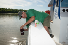
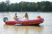
TSS was sampled across a variety of hydrodynamic and physical settings to represent basin heterogeneity.
Atchafalaya Basin Water Levels and River Discharge
Image Media
Body
Two new Pre-Delta-X datasets provide absolute water level elevations and river discharge measurements.
MODIS-Derived Snowmelt Timing Maps, Version 2
Image Media
Body
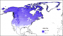
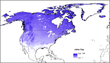
The second version of snowmelt timing maps for North America is available for the period 2001 through 2018.
Monthly Hydrological Fluxes for ABoVE Domain
Image Media
Body
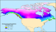
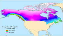
Estimated historical water balance climatologies are available for the Arctic-Boreal Vulnerability Experiment (ABoVE) study domain.
Temporal Dynamics of Lake Area in the Arctic
Image Media
Body
Near-daily CubeSat imagery provides information on the seasonal dynamics of more than 80,000 lakes.