DAAC Home > Resources > News

News

Does Boreal Wildfire Release "Old" Carbon?

Submitted by ORNL DAAC Staff on
Image Media
Image Media
Caption

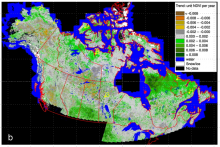
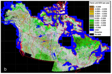
Radiocarbon concentration (delta14C) in the atmosphere over time, showing the bomb peak in 1966 (red dotted line) and theoretical positions of delta14C of soil depth increments (points).

Body

Researchers with NASA's ABoVE field campaign measured soil and forest stand age at burned sites in Canada's Northwest Territories.

MODIS Collection 6 Phenology and Other Updates

Submitted by ORNL DAAC Staff on
Image Media
Image Media
Caption

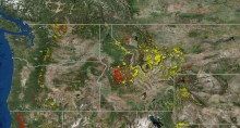
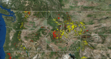
Periodic fires near Paradise, California (in 2001, 2008, and 2018) observed from MODIS as recorded in the newly released MCD64A1 product: MODIS/Terra and Aqua Burned Area Monthly L3.

Body

Several updates are now available for MODIS Land Products, including the addition of the Collection 6 phenology product.

Merged Data from the Atmospheric Tomography Mission

Submitted by ORNL DAAC Staff on
Image Media
Image Media
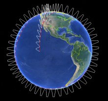
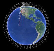
Caption

Generalized overview of ATom flights. During each of the four campaigns, ATom flights originated from California, flew south over the Pacific Ocean, then north to the western Arctic, southwest to New Zealand, east to Chile and the Atlantic Ocean, north to Greenland, and returned to California across North America. During flights, the aircraft continuously profiled the atmosphere from 0.2 to 12 km altitude.

Body

The Atmospheric Tomography Mission (ATom) has released multi-instrument merged data from all four flight campaigns spanning from 2016 - 2018.

Carbon Sequestration Potential for Maryland

Submitted by ORNL DAAC Staff on
Image Media
Image Media
Caption

Carbon sequestration potential within the state of Maryland, defined as 95% of maximum forest aboveground biomass (Mg/ha), simulated after 500 years of succession.

Body

A new dataset maps the aboveground biomass of Maryland's forests and estimates their potential for future carbon sequestration.

Daymet 2018 Data Now Available

Submitted by ORNL DAAC Staff on
Image Media
Image Media
Caption

Daymet provides high-resolution surface meteorology data for North America. The figure shows annual data for the year 2018; Left: Mean maximum daily temperature, Middle: Total precipitation, Right: Mean minimum daily temperature. Daymet data is archived and distributed by the ORNL DAAC.

Body

Daymet weather and climate data for North America are now available for the years 1980 - 2018.

AirSWOT Ka-band Radar from ABoVE

Submitted by ORNL DAAC Staff on
Image Media
Image Media
Caption

Example of AirSWOT radar products in ABoVE Projection at 3.6 m resolution, for a flight over the ABoVE C grid Ch065v034. Left: Shape for backscatter image. Middle: Backscatter magnitude shows bright reflection in the near range and no returns, yielding regions of no data, in the far range. Right: Derived elevation product.

Body

The ABoVE project has released data from AirSWOT flights in Summer 2017 collected over Alaska and Canada.

ACT-America Atmospheric Data Updated

Submitted by ORNL DAAC Staff on
Image Media
Image Media
Caption

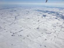
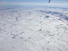
Photograph of the Midwestern United States taken during a Fall 2017 ACT-America flight. A storm system had recently brought a blanket of snow to the region. (Image credit: NASA/Bing Lin)

Body

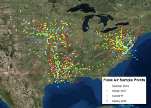
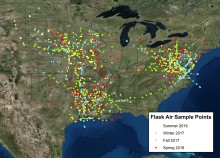
Atmospheric gas data from all four seasonal flight campaigns (Summer 2016, Winter 2017, Fall 2017, and Spring 2018) are now available from the ACT-America mission.