A new version of meteorological and aircraft navigational data is available from the Atmospheric Carbon and Transport-America project.
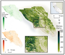
Improved LiDAR-derived Biomass for Sonoma County, CA
A new dataset used a parametric modeling approach to estimate biomass from airborne LiDAR data and field measurements.
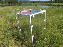
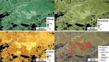
Spatial Patterns in Methane Fluxes of Arctic Vegetation
A new dataset provides diffusive methane (CH4) fluxes of emergent and upland vegetation at two thermokarst lakes in Alaska.
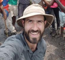
NASA Data Helps Researcher Understand Coastal Mangrove Forests
Dr. David Lagomasino uses NASA data to study how the Earth's landscape responds to changes caused by natural events and rapid urban expansion.
THREDDS NetCDF Subsetting Service Bug Fixed
A bug has been fixed in the THREDDS Data Server (TDS) NetCDF Subsetting Service (NCSS) that may, in rare cases, have returned incorrect results.
NASA Earthdata Webinar: GEDI Level-1 and -2 Data
The Land Processes (LP) DAAC will get you started with GEDI data on Wednesday, June 24.
STV Workshop seeks community input
The NASA Surface Topography and Vegetation (STV) Incubation Study will hold its first community workshop on July 9, 2020.
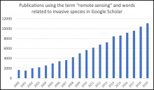
Remote Sensing and Invasive Species
A new Earthdata article describes how researchers are using remote sensing to map invasive species.
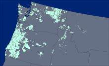
LiDAR Derived Aboveground Biomass for Northwestern USA Forests
Aboveground biomass was derived from forest inventory data and lidar imagery.
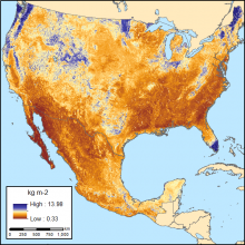
Comparative Soil Organic Carbon for Mexico and USA
Two sets of estimated soil organic carbon and uncertainties are available at a 250 m resolution.